

TfL’s VRS Network: Essential for Safer Highways in London
ABOUT THE PROJECT
Transport for London (TfL) manages an extensive network of the most strategic highways in London that includes essential safety features, such as Vehicle Restraint Systems (VRS). VRS is designed to prevent vehicles from leaving the carriageway or striking hazardous objects, thereby reducing the risk of serious accidents in line with the Mayor’s Transport Strategy. To optimise the management of these safety systems and ensure efficient allocation of resources for maintenance and improvements, TfL commissioned Metis to conduct a comprehensive risk assessment and prioritisation of their VRS network.
THE CHALLENGE
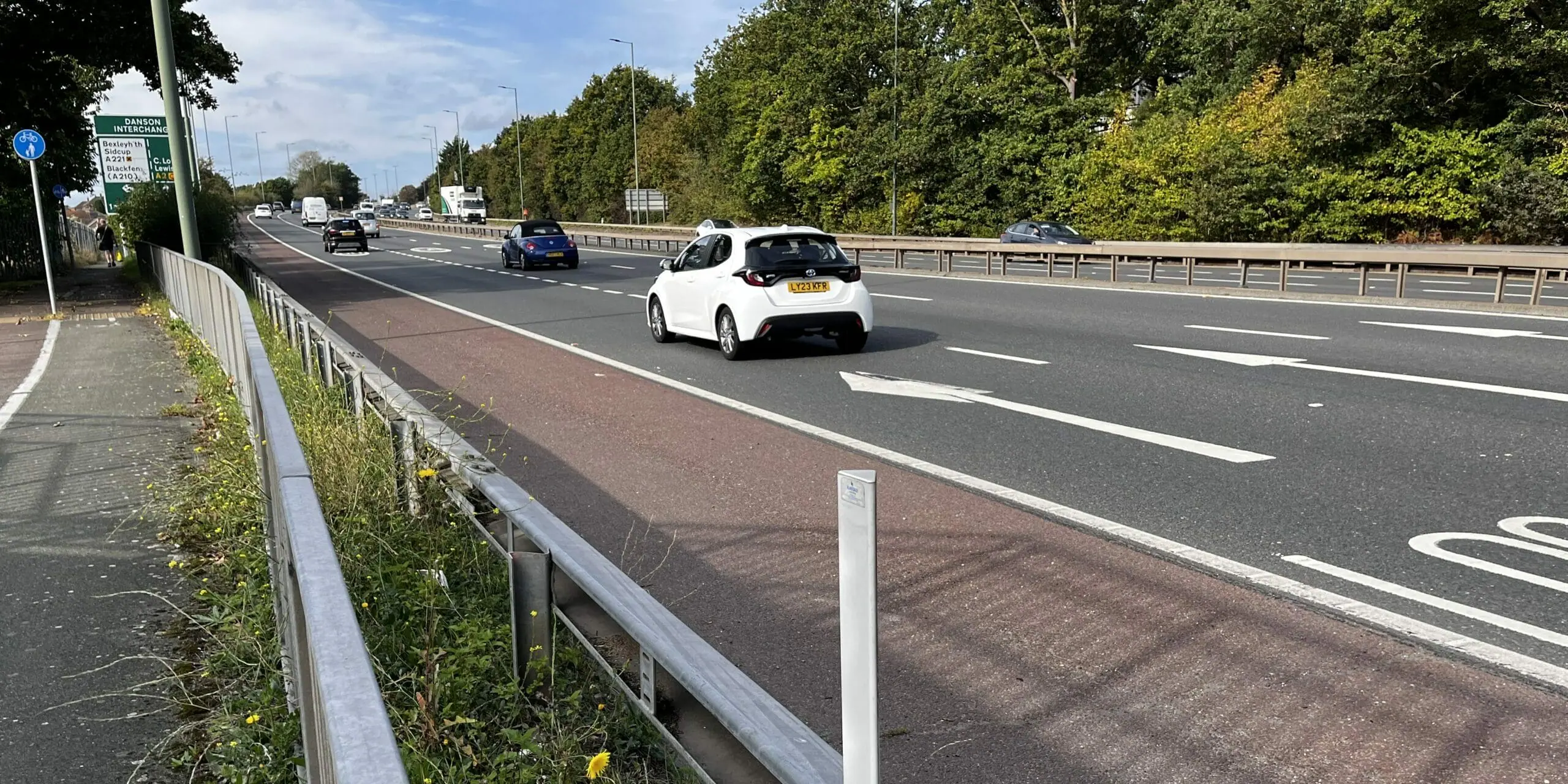
TfL oversees around 1,000 kilometres of roads in the capital, ensuring their safety and reliability. The strategic placement and design of its VRS are crucial for maintaining safety and reducing the risk of serious injuries. However, the prioritisation, management, and maintenance of this network present significant challenges, especially given the funding pressures around maintenance and improvement schemes.
To address these challenges, Metis partnered with TfL to undertake a risk-based prioritisation of TfL’s highway network. This process was guided by a pre-defined ruleset that considered risk across the asset base, specifically to VRS, and would allow robust prioritisation processes to be implemented for maintenance investment.
THE SOLUTION
To address these challenges, we employed our tried and tested risk-based approach, which consisted of:
Development of Risk-Based Ruleset: Metis, in collaboration with TfL, created a pre-defined ruleset for assessing road safety risk. This ruleset considered various risk factors relevant to VRS management. Key elements included:
- Traffic Volumes: Data on the number of and types of vehicles (e.g. HGVs) using roads.
- Speed Limits: Expected speeds and whether enforcement (i.e. cameras) is present.
- Road Layouts: Data around the number of lanes and types (e.g. slip roads).
- Approaches: Sections leading up to junctions, roundabouts or crossings.
- Road Geometries: Sharp bends, steep gradients and other higher-risk road layouts.
- Accident Records: Historical data on KSIs and accident clusters.
- Hazardous Features: Areas with railways, water courses, trees or other hazards.
Data Collection & Integration: We collated and integrated the necessary datasets, ensuring they were aligned with the risk assessment requirements. This involved gathering data from multiple sources and verifying its accuracy and relevance. Integrating these datasets accurately presented a challenge due to differences in the format and scale of data, and the necessity for association with the extensive highway network.
Risk Assessment and Banding: Using the ruleset, we assessed the risk for each highway section against various themes (e.g. road nature and layout, and hazardous obstacles). Each section was assigned a risk band based on the predefined criteria. The results were then geospatially mapped to visualise the VRS risk classifications across the network. At this stage, VRS inspection data was associated with the risk assessment to enable TfL to understand high-risk areas with maintenance needs and develop its maintenance programmes.
THE OUTCOME
The outcome was a suite of robust tools which would support TfL in understanding the risk associated with VRS assets across its extensive highway network. Metis delivered the following key outputs to TfL:
Geospatially Mapped Risk Assessment: A detailed map was produced using a GIS tool, showcasing VRS risk classifications against each section of the highway (regardless of whether VRS exists currently or not). This visual representation enabled TfL to easily identify high-risk areas as well as assets in poor condition.
Interactive PowerBI Dashboard: The dashboard provided TfL officers with a powerful tool for in-depth analysis of risk factors, allowing them to filter and explore data to support informed decisions and prioritisation. It also established a practical system for optimising the use of their finite resources.
These outputs would subsequently enable TfL officers to analyse and interrogate the data, including the identification of high-risk areas and assets in substandard condition, as well as a detailed exploration of risk factors and their impact on the overall risk classification.
Interested in learning more about our work?
Explore some of our other Metis case studies to discover our recent projects. Or, if you’re seeking an experienced and passionate civil and environmental engineering team to partner with on your next project, please get in touch with us today.

CLIENT
Transport for London (TfL)
Related Projects

South London Highway Asset Management Consortium – Quarterly Workshops
Metis has been supporting the Consortium since 2010, structured around quarterly workshops with work activities carried out with individual boroughs or independently between workshops.

Metis helps East Sussex Council to secure £15M funding
Sussex’s carriageways play a key role in enabling the efficient movement of people and freight through the county and directly contribute to East Sussex County Council’s (ESCC) economic, social, and environmental development and growth strategy plan.